
19 Feb The Year of the Drone – CREPN #33
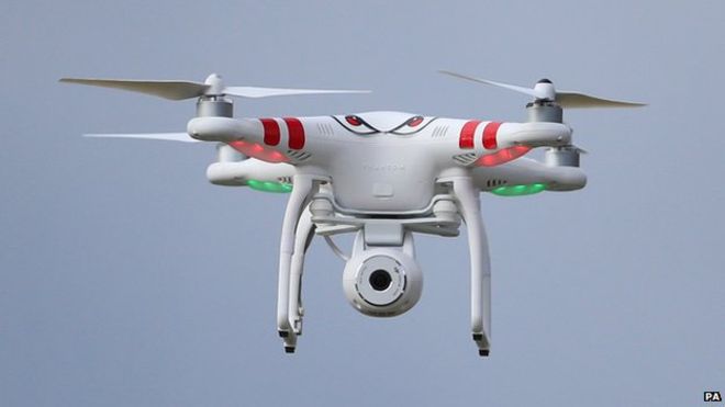
2016 – The Year of the Drone. Ground Control to Drone! From Gulf wars to under the Christmas tree in 2015, retailers have declared “2016, The Year of the Drone!” [x_audio_embed][/x_audio_embed] The first time I recall hearing about drones on a regular basis was during the Gulf Wars where drones were used for military surveillance over war zone. The technology has progressed creating infinitely, lighter, less expensive units that have made their way to under the Christmas tree as gifts for many good girls & boys. To learn more about Drones and their use in commercial real estate applications, I visited the local drone store who referred me to one of their clients, Paul Tice with ToPa3d, who uses drones in his 3d mapping business. ToPa3d has been in business since 2013 and uses many different technologies to provide 3d maps for Architects, Engineers and Environmental organizations.
What’s the big deal about Drones?
Stability In addition to the size and cost reduction, the drones have incorporated amazing technology that provide phenomenal stability in even the windiest conditions. This stable platform makes it possible to capture amazingly clear, high resolution images, video and more. Drones can provide more than single photos or video up to 4k. Technology called “Photogrammetry”, the science of stitching photos together creates. These overlapped, stitched together photos can then be used to extract data to create 3d models of landscapes, buildings and more to within millimeters. Capacity to lift is growing More powerful drones can carry up to 50 pounds, which allows heavier, more high definition cameras capable of capturing even more data capture such as: LIDAR: Light detecting and ranging that use lasers reflecting off a surface and recording highly accurate 3D representation models. Cost Savings Prior to Drones, the ability to collect such detailed information either was not an option, or came with a very high price tag. Aircraft, pilots, fuel, photographers with calibrated cameras and time all had to be coordinated. The end product could take weeks to produce. Now drones are available to everyone. A single drone and a pilot can capture significantly greater detailed data in a matter of minutes. Drones can be programed using Google Maps to fly a specific area, and in mere hours a high definition photo can be provided electronically for people in various locations to review and contribute comments keeping a project on schedule.Drone Laws:
For any Government Work or maps, a Licensed Photogrammetrist or Licensed Land Surveyor must verify data when producing maps. FAA rules require there must be a licensed pilot on site with knowledge of air space. Basic responsibility: DO NOT FLY OVER PEOPLE; give way to manned aircraft, and are supposed to stay under 400 ft and not to fly within 5 miles of an airport. Data Collection & Storage The ease of data collection and photo programs make the collection and storage of the photos/ videos very manageable. Typical use of Drone by ToPa3d for a client A Historical building remodel or renovation. The project will start with a survey of the building. A drone can capture the information accurately to ¼ inch, in Autocad and fast.- Project Example: Measuring historic grandstand in Phoenix, AZ
- Without Drones would have taken 15 students would have taken 1 month
- With a drone; 4 days: DONE
- 3D City Modeling
- BIM: Building Information Models
- GIS: Geographic Information Systems
- Materials & Energy performance of buildings for a city
- Utilities
- Urban planning
- Liability
- Errors & Omissions for Data
- Some projects can require special Insurance running from: $2500/ yr to $8,000 /day (movie sets/ surveying government controlled sites (dams))